 正版
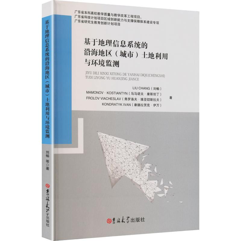
基于地理信息系统的沿海地区(城市)土地利用与环境监测
- 书名
- 基于地理信息系统的沿海地区(城市)土地利用与环境监测
- 作者
- 刘畅 等 著
- 出版社
- 吉林大学出版社
- 出版时间
- 2026-01-01
- ISBN
- 9787576845945
- 货号
- 1204477663
- 品相
- 全新
- 分类
- 当代·工业
- 书名
- 基于地理信息系统的沿海地区(城市)土地利用与环境监测
- 作者
- 刘畅 等 著
- 出版社
- 吉林大学出版社
- 出版时间
- 2026-01-01
- ISBN
- 9787576845945
- 货号
- 1204477663
- 品相
- 全新
- 分类
- 当代·工业
目录▼
SECTION 1 THE CURRENT STATUS AND SCIENTIFIC AND PRACTICAL APPROACHES TO THE DETERMINATION OF SPATIAL PROVISION OF ENVIRONMENTAL MONITORING OF THE LAND USE OF CITIES IN MARITIME REGIONS …………………………………………………………… 1
1.1 The current state of spatial provision of the land use of cities in maritime regions
………………………………………………………………………………… 1
1.2 Scientific and practical approaches to determining the spatial provision of ecological monitoring of the land use of cities in maritime regions ………… 10
1.3 Peculiarities of formation and implementation of ecological monitoring of the land use of cities in maritime regions ………………………………………… 20
1.4 Regulatory and legal provision of ecological monitoring of the land use of cities in maritime regions …………………………………………………… 28
1.5 International experience of spatial provision of environmental monitoring of the land use of cities in maritime regions …………………………………… 34
SECTION 2 METHODS AND MODELS OF FORMATION OF ENVIRONMENTAL MONITORING OF THE LAND USE OF CITIES IN MARITIME REGIONS ……… 39
2.1 Characteristics of the methods of forming the spatial provision of ecological monitoring of the the land use of cities in maritime regions ……………… 39
2.2 Models of the formation of spatial provision of ecological monitoring of the use of the land use of cities in maritime regions …………………………… 42
2.3 Factors affecting the formation of spatial provision of ecological monitoring of the land use of cities in maritime regions ……………………………… 51
SECTION 3 DEVELOPMENT AND IMPLEMENTATION OF AN INTEGRAL METHOD FOR DETERMINING THE LEVEL OF ENVIRONMENTAL THE LAND USE OF CITIES IN MARITIME REGIONS ……………………………………………… 58
3.1 Development of a multi‑level system of indicators of spatial provision of environmental monitoring of the land use of cities in maritime regions …… 58
3.2 Development of a method of integral assessment of the level of spatial provision of ecological monitoring of the land use of cities in maritime regions: theoretical provisions ………………………………………………… 59
3.3 Implementation of the method of integral assessment of the level of formation of spatial provision of ecological monitoring of the land use of cities in maritime regions …………………………………………………………… 70
3.4 Forecasting changes in the integral indicator of the level of formation of spatial provision of ecological monitoring of the land use of cities in maritime regions depending on the growth of ecological factors of regional development …… 79
SECTION 4 SCIENTIFICLY BASED RECOMMENDATIONS REGARDING THE FORMATION OF SPATIAL ENVIRONMENTAL MONITORING OF THE LAND USE OF CITIES IN MARITIME REGIONS ………………………………………… 87
4.1 Mathematical modeling of the influence of the integral factor of the level of spatial provision of ecological monitoring of the use of the land use of cities in maritime regions on the indicator of the ratio of the gross regional product and the population of the regions ………………………………………… 87
4.2 Development of recommendations to increase the level of spatial provision of ecological monitoring of the land use of cities in maritime regions ……… 102
SECTION 5 FEATURES OF THE FORMATION OF GEO‑INFORMATIC MONITORING OF THE USE OF REAL ESTATE IN MARITIME REGIONS …… 118
5.1 Definition of real estate: theoretical provisions ………………………… 118
5.2 Analysis of spatial support for the use of real estate in maritime regions … 124
5.3 Determination of investment indicators for the use of real estate in maritime regions …………………………………………………………………… 127
5.4 Analysis of functional factors of real estate use at the regional level ……… 131
5.5 Characteristics of environmental factors of real estate use in maritime regions
………………………………………………………………………………… 137
……
文摘▼
当前海洋区域土地利用生态监测在空间支持方面较为薄弱,限制了土地利用效率和区域可持续发展水平的提升。本书聚焦海洋区域土地利用生态监测,通过分析现有科学方法,明确监测类型、功能及实施程序,构建多层次指标体系评估利用状况,提出了加强空间支持供给、优化生态监测条件、构建科学的组织机制,精准评估土地资源利用状况并优化调整等方法。这些成果优化了海洋区域土地利用结构,为生态保护和资源可持续开发提供理论与实践支撑,对推动海洋区域可持续发展具有重要意义。